GeoFinderAI是一款革命性的AI工具,能通过分析照片中的建筑、景观、标识等视觉线索,精准定位拍摄地点。用户只需上传JPEG、PNG等格式的图片(最大10MB),点击“预测位置”即可获得带置信半径的精确坐标。新用户可免费体验5次,后续每次分析仅需10代币。
这款工具对旅行者、摄影师和地理爱好者极具价值:
1. 精准定位:AI技术解析照片细节,快速锁定位置
2. 操作简单:拖拽上传+一键分析,3步完成地理识别
3. 场景多元:适用于风景照、城市景观、历史建筑等各类图像
无论是追溯旅行记忆、验证拍摄地点,还是探索未知景观,GeoFinderAI都能提供专业级解决方案。其独特的置信半径功能更确保了结果的可靠性,让用户轻松解锁照片背后的地理密码。立即体验5次免费额度,开启你的智能地理发现之旅!
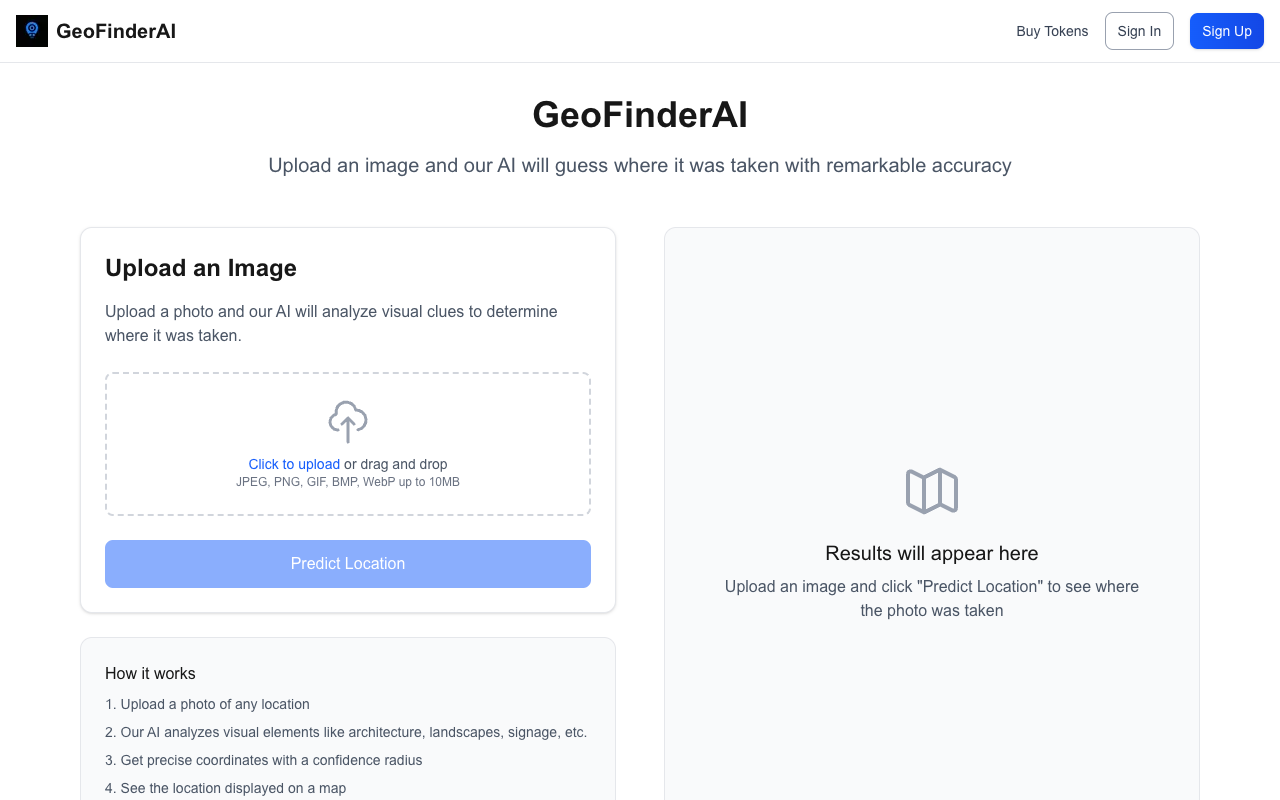
GeoFinderAI is an innovative tool that allows you to find out where any photo was taken with remarkable accuracy. By simply uploading an image, users can leverage the power of advanced AI to analyze visual clues such as architecture, landscapes, and signage, making it easy to pinpoint locations. This cutting-edge technology is designed to provide precise coordinates along with a confidence radius, ensuring that users receive reliable information about their images.
To use GeoFinderAI, just upload a photo of any location, and the AI will get to work analyzing the visual elements present in the image. The process is straightforward: click to upload or drag and drop your image in formats like JPEG, PNG, GIF, BMP, or WebP, with a maximum size of 10MB. Once the image is uploaded, simply click “Predict Location” to see the results displayed on a map. New users are welcomed with 5 free uses, after which each analysis costs 10 tokens.
The benefits of using GeoFinderAI are immense, especially for travelers, photographers, and anyone curious about the world around them. With its ability to provide accurate location data, users can enhance their understanding of the places they visit or capture in photos. Whether you’re trying to remember a beautiful landscape or want to identify a specific landmark, GeoFinderAI is your go-to solution for location detection.
Explore the potential of AI-powered location detection by visiting GeoFinderAI and start uncovering the stories behind your images today!